
Many tourists to Utah are drawn to the state’s more well-known national parks, such as Zion and Arches, but visitors to Capitol Reef National Park are often astounded by the park’s incredible geology and diverse variety of activities.
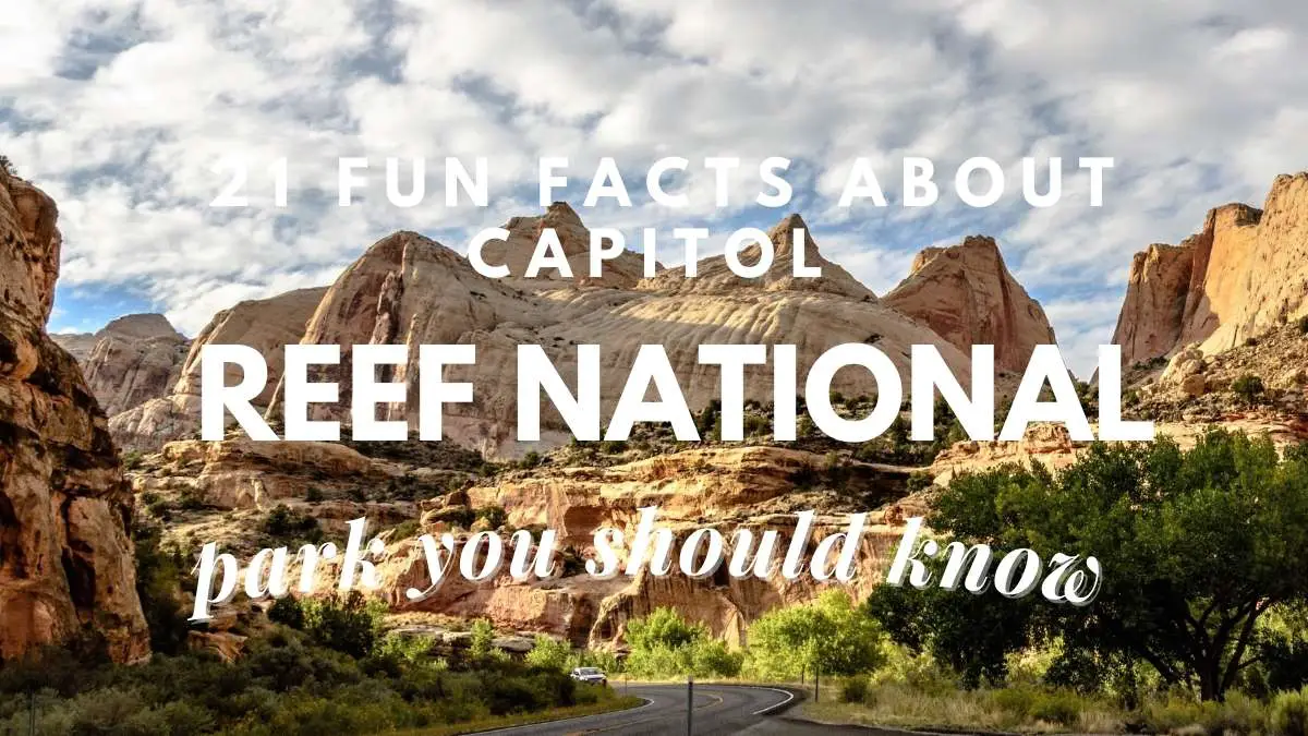
In a surprisingly green desert river valley, Capitol Reef is an astonishing paradise of enormous, multi-colored rock formations and stunning slot canyons. The Waterpocket Fold, a roughly 100-mile (161-kilometer) fold in the Earth’s surface, seemed like a “reef” to early people in the area. The large white domes dotting the Waterpocket Fold were also mistaken for the US Capitol building, therefore the region was dubbed Capitol Reef.
There’s a lot more to do here than just admire the beauty. Visitors may see petroglyphs and historic ruins all across Capitol Reef, which is rich in Native American heritage. In the Fremont River Valley, frontier pioneers left behind numerous mementoes of early life, and tourists may explore historic homesteads, orchards, and other items left behind by these early settlers.
1. How Did You Get Here?
Capitol Reef National Park Located in south-central Utah, and it is the middle of Utah’s five national parks, making it a little more difficult to get than the others.
Bryce Canyon National Park is 115 miles (185 kilometers) north-east of Capitol Reef, while Arches National Park is 130 miles (209 kilometers) south-west.
Read: Is Traveling A Hobby? The Ultimate Guide To An Exciting Way Of Life
Learn about the Downsides Of Traveling As A Hobby
2. Capitol Reef National Park has a variety of lodging options
Fruita Campground is the park’s sole constructed campground.
The ancient Fruita orchards surround this 71-site campsite, and many trails, including the Cohab Canyon Trail and the Fremont River Trail, are readily accessible directly from camp.
Reservations are accepted from March 1 to October 31 and may be booked up to six months in advance.
For the remainder of the year, all campsites are first-come, first-served.
Read: What Is The Best Time To Visit Capitol Reef National Park?
Learn about Visiting Capitol Reef National Park in summer
3. Torrey is a town in Utah.
Torrey, Utah, is about 15 minutes west of the park visitor center and has a wide range of housing choices, including RV parks, glamping resorts, motels, and vacation rentals.
From modest cabin rentals to original Conestoga Wagons to bed & breakfasts and luxurious desert getaways, there’s something for everyone.
Teasdale, Bicknell, and Caneyville are nearby areas where you may discover more hotel alternatives.
4. The Bureau of Land Management, the National Forest Service, and private campgrounds are all options.
On all sides, Bureau of Land Management (BLM) holdings and national forest surround Capitol Reef National Park.
There is a plethora of options for scattered camping or camping outside of a recognised campsite. Restrooms and other amenities are available in certain localities.
On Boulder Mountain, there are also various national forest campsites.
Because of the higher elevation and milder temperatures, these campsites may offer a more pleasant camping experience throughout the summer.
5. Fruita Orchards is a family-owned and operated orchard in the region
Fruit trees were planted along the Fremont River and Sulphur Creek by early immigrants for both sustenance and profit.
Because of the abundance of apples, cherries, apricots, pears, peaches, and plums, the town of Junction was renamed Fruita in the early 1900s.
The orchards are maintained by the National Park Service, who use the same historical practices as the original pioneers, and tourists are welcome to tour the orchards and harvest fruit.
Learn about the General Sherman Tree
6. Drive on the Grand Wash Spur
The Capitol Reef Scenic Drive is a paved road that runs through the core of the park for 7.9 miles (12.7 kilometers).
The road starts at the visitor’s center and leads to the campsite and a variety of trailheads.
If you’re going in a vehicle under 27 feet (8.2 meters) in length, the gravel offshoot road into Grand Wash, a massive walled canyon, is a must-do.
The trailhead for Cassidy Arch and the hiking route that follows Grand Wash to its intersection with Highway 24 is barely a mile (1.6 kilometers) down this curving dirt road.
7. Scenic Drive on the Capitol Reef
The designated scenic drive finishes at the end of the tarmac, although an unpaved branch road continues into Capitol Gorge for another two miles (3.2 kilometers).
It’s hard to think this winding, narrow road was once the primary thoroughfare across this portion of south-central Utah.
You may stroll down the historic roadbed to the Pioneer Registry at the end of the road, a location where early pioneers and Mormon settlers etched their names in the rocks as they went through the canyon.
Read: Best Time To Visit Katmai National Park ( Plus Reasons )
Learn about Where You Can Go to See the Bears
8. Petroglyph Panel in Fremont
Fremont Culture natives lived at Capitol Reef National Park long before the first pioneer settlers arrived.
They left their imprint on the park’s Wingate sandstone cliffs.
One of the best spots to observe petroglyphs, or ancient pictures etched into stone, is approximately 1.1-mile (1.7 km) east of the visitor center, along Highway 24.
These human-like sculptures, as well as various creatures and geometric motifs, may be seen from two boardwalk walks. Binoculars are recommended for a closer view.
9. GyPSy Guide Driving Tour App for Capitol Reef National Park
Fruita Schoolhouse is a historic building in Fruita, California.
The one-room Fruita Schoolhouse, built in 1896 for the few school-aged children residing in Fruita, was a functioning grade school until 1941, when it was closed due to a lack of pupils.
The Fruita Schoolhouse is still standing in its original position, and tourists may look through the windows and imagine what it was like to go to school in such a distant spot.
Read: Lassen Volcanic National Park Itinerary ( Printable Multiple Day Itinerary )
Learn about turtle exploration at Sundial Bridge
10. Point of Sunset
Sunset Point, as its name suggests, is one of the greatest places in Capitol Reef National Park to watch the sunset.
The short climb to the viewpoint, which is about 0.8 miles (1.3 kilometers) roundtrip, provides spectacular views of the Waterpocket Fold and is the best spot to be at sunset.
11. Overlooking Goosenecks
The Goosenecks Trail, which begins at the same trailhead as Sunset Point, provides excellent views of Sulphur Creek’s winding route etched into the rocks below.
At sunset, the view is especially stunning.
Keep an eye on your children since there are several steep drop-offs and little guardrails.
Learn about the Rules to adhere when you are taking your pets
12. Trail to Hickman Bridge
This is one of Capitol Reef’s greatest short treks.
Hickman Bridge, a massive natural arch, is just one mile (1.6 kilometers) from the parking lot.
The route follows the Fremont River before ascending the Waterpocket Fold’s lower slopes to Hickman Bridge.
13. Trail of the Cassidy Arch
Cassidy Arch is a large natural arch that lies high above Grand Wash and is named after the renowned criminal Butch Cassidy, who liked to hide out in the maze of canyons of Capitol Reef.
The Grand Wash Trailhead is just 1.75 miles (2.8 kilometers) from the arch, but the climb is hard and well worth it.
Cassidy Arch is gorgeous from almost every viewpoint, and you can actually walk over the top of it.
Read: 19 Best Places In Shawnee National Forest To Visit 2024
Learn about the Garden of Gods
14. Trail of the Grand Wash
This simple trip for the whole family follows a dry, sandy stream bed about 2.3 miles (3.6 kilometers) one way, with towering cliffs on both sides.
The cliff sides are just 15 feet (4.6 meters) apart at its narrowest point.
The Grand Wash Trail may be accessed from either the end of the Grand Wash spur road or the trailhead on Highway 24.
The path may easily be done as an out-and-back, or you can use a vehicle or bike shuttle to go one-way.
15. The Capitol Gorge Trail
The Capitol Gorge trek starts at the end of the Capitol Gorge spur road, where there is a parking space.
The route goes through multiple petroglyph panels and the historic signatures etched at the Pioneer Registry in less than a mile (1.6 kilometers).
You may extend the trip by going on to the Tanks, which are water-filled nooks in the sandstone, or by following Capitol Gorge all the way to the park border and a fascinating abandoned antique automobile.
Learn about the massive Loblolly Pines trees at the park
16. Chimney Rock Trail is a popular hike in the area.
The Chimney Rock Trail is a 3.6-mile (5.8-kilometer) circle at the west entrance of Capitol Reef National Park that offers outstanding panoramic views of the Waterpocket Fold and the distant Henry Mountains.
The path rises approximately 600 feet (183 meters) to the trail’s highest viewpoint, passing past its namesake, Chimney Granite, an eroded tower of red rock.
17. At the Gifford House, try the pies.
The historic Gifford Homestead is a tribute to the park’s pioneer heritage, located one-mile (1.6 kilometers) south of the visitor center along the park’s scenic road.
The Gifford family lived in the house from 1928 until 1969, when it was sold to the National Park Service.
At the Gifford House, guests may explore the farmhouse, enjoy freshly baked pie, and shop for handcrafted products manufactured by local artisans.
On Pi Day (March 14), the Gifford House opens for the season and closes at the end of October.
Because pies often sell out early in the day, go there first thing in the morning.
Read: Innes National Park Itinerary ( Planned Days And Printable Itinerary )
Learn about Enjoying your meals at Yorke Peninsula’s Watsacowie Brewing
18. Participate in a Ranger-Led Star Talk
The park has been classified as an International Dark Sky Park.
Capitol Reef offers some of the greatest stargazing in the United States.
Torrey, a nearby hamlet, is one of the few certified International Dark Sky Communities in the United States.
Light pollution is so low in the Capitol Reef region that you can see the Milky Way with your naked eye.
Dark sky tours guided by rangers are available on a regular basis, and the Annual Heritage Starfest is held each September around the new moon.
Outfitters in Torrey also provide dark sky excursions and star parties.
19. Take a Canyoneering Tour with a Guide
Canyoneering is a thrilling way to explore Capitol Reef National Park’s rough canyons.
Canyoneering is traversing steep and tight gorges using ropes and other climbing methods.
Experienced canyoners must get a free permit from the visitor center, and numerous local outfitters provide guided canyoneering trips in the park of varying degrees of difficulty and expertise.
20. Sulphur Creek Waterfalls are a great place to cool yourself.
Sulphur Creek is an unmaintained road through a steep and tight canyon, not an official park trail.
Walking across shallow water and around rock barriers is part of the trek.
On hot days, many hikers prefer to trek the full trip from the trailhead at the Chimney Rock Trailhead on Highway 24, while others merely go upstream from the visitors’ center to the first waterfall to cool down.
21. Fold the Waterpocket Loop and drive it.
The Waterpocket District is only accessible by dirt roads and is located in the park’s rocky southern part.
Visitors who want to see some of the park’s more distant landscapes may drive a 124-mile (199-kilometer) circle named “Looping-the-Fold” through this less-visited area.
The circle begins at the visitor center and proceeds to Torrey via the Notom-Bullfrog Road, Burr Trail Road, and Highway 12.
Most passenger vehicles can easily navigate the route, but it’s a good idea to check in at the tourist center for the most up-to-date road conditions.
Along the journey, there are several hiking and sightseeing options.
Bring some hiking shoes that you don’t mind getting wet or hiking sandals if you’re going on the Sulphur Creek walk.
Many of the paths in Capitol Reef National Park require trekking over rough and uneven terrain.
Trekking poles are recommended.
Trekking poles are very useful for going through Sulphur Creek since they give added stability when hiking across steep terrain.
Learn about Where in Great Basin National Park Can You Go Stargazing?
Final words
Keep these facts in mind and visit the Capitol Reef National Park. Protect yourself from the strong desert sun by bringing sunscreen, lip balm, sunglasses, and a wide-brimmed hat.
If you intend on trekking, a comfortable daypack with plenty of compartments is essential. This will ensure that you have everything you need, including water bottles, sunscreen, food, and trail maps, with you at all times. Carry more water than you think you’ll need in the desert with a refillable water bottle. To stay hydrated in the desert on hot days, bring multiple refillable water bottles or a hydration bladder.
Proud owner of https://travelyouman.com/
