
California is one of the most geographically diverse states that you can find out there in the United States. The Mojave Desert, Central Valley, and Sierra Nevada contribute a lot towards the geographical diversity of the state. On the other hand, California is the home to massive trees. You will be impressed with the long stretches of coastline and the beautiful wildlife that you can find within the state. On top of them, you can find more than 30,000 reservoirs and lakes within California as well.
Some lakes that you can find in California are draining directly into the ocean. Then you can find some landlocked lakes as well. You can also find lakes of all sizes within the state. Here’s a list of 20 of the biggest lakes that you can find in the state of California as of now.
1. Shasta Reservoir – Largest manmade lake in California
Shasta Reservoir is the largest manmade lake present within the state of California. It is having a total capacity of over 4.5 million square feet. The Shasta Reservoir is located on top of the Sacramento River, which you can find in the northern region of California.
The closest city to this river is Redding. The complete lake lies within the Shasta County.
The Shasta Reservoir was created along with the construction of the Shasta Damp. This is a curved dam, which is offering a massive concrete structure with a height of over 487 feet.
Apart from that, it is a having a big foundation that goes up to 602 feet. This dam was constructed with the objective of generating hydro-electricity.
The hydro-electricity generating efforts have been successful. As of now, Shasta Reservoir is generating current at a capacity of around 5 megawatts.
If you are making plans to come to Shasta Lake, you will need to think about going on an adventurous excursion to the Lake Shasta Caverns as well.
This is a great underground experience that you can secure during the time that you are spending in here.
This unique experience is accessible via a boat ride that you go across the river. It is not a challenging experience as it doesn’t involve climbing or crawling.

Read: Biggest Lakes In The United States Of America [Top 20]
Learn about the Lake Superior Largest Lake in the USA
2. Lake Tahoe – Largest natural lake in California
Lake Tahoe is the largest natural lake that you can find in the state of California.
This is among the most beautiful lakes that you can find within the country as well. Views of Lake Tahoe would impress you with dazzling blue waters.
The lake is located in close proximity to the Sierra Nevada Mountains. Hence, you can get a unique experience as you spend your time by this lake.
The Lake Tahoe is not fully located within California. That’s because Lake Tahoe is sharing the border in between Nevada and California.
However, majority of the lake belongs to the state of California.
People who love to enjoy recreational activities have numerous opportunities by the Lake Tahoe. For example, you can discover cabins, campgrounds, and luxurious resorts located in close proximity to the shoes of Lake Tahoe.
On the other hand, you can find the Tahoe Rim Trail, which is circling around the entire basin of the lake as well.
You can find both non-motorized boating and motorized boating here in Lake Tahoe.
Moreover, you can also discover multiple marinas and outfitters around the lake as well. They offer boat rentals for the people who are in need of them.
Apart from these, you can go ahead with lake cruises as well. Lake cruises in the Lake Tahoe will provide scenic views of the surroundings, which you will never forget.
You can also call Lake Tahoe as the home to the Emerald Bay State Park. If you are coming to see the beauty of Lake Tahoe, you can spend a couple of nights in the state park and get a unique camping adventure.
Summer is the best time of the year for anyone to come to Lake Tahoe and enjoy the breathtaking views offered by it.
Learn about the largest natural lake in Texas
| Lake Name | Volume in acre-feet |
| Lake Tahoe (California, USA / Nevada, USA) | 122,160,280 |
| Salton Sea (California, USA) | 7,500,000 |
| Shasta Lake (California, USA) | 4,552,000 |
| Trinity Lake (California, USA) | 2,447,650 |
| Mono Lake (California, USA) | 2,407,820 |
| San Luis Reservoir (California, USA) | 2,041,000 |
| Don Pedro Lake (California, USA) | 2,030,000 |
| Lake Berryessa (California, USA) | 1,602,000 |
| Clear Lake (California, USA) | 1,155,000 |
| Lake Almanor (California, USA) | 1,142,960 |
3. Big Bear Lake – 2nd largest lake in California
As the name suggests, Big Bear Lake is a massive lake in the state. You can call this as the second largest lake present in California as of now.
People who are based in Los Angeles can easily access this lake. That’s because you will have to travel under 100 miles to access the lake.
The Big Bear Lake is filled with natural beauty as well. For example, you will notice how the lake is surrounded by pine trees.
The lake is located at an elevation of over 6,700 feet from the sea level. Hence, you can find a unique geographical diversity around this lake.
Boating is quite a popular activity that you can find around Big Bear Lake. Once you come to the Big Bear Lake, you will see how people are taking part in numerous boating adventures.
You can even call this as one of the best lakes available for boating within Southern California. Due to the same reason, you can discover a large number of marinas located at Big Bear Lake.
Out of them, Pleasure Point Marina has been able to receive lots of positive attention.
If you want to gather an unforgettable experience as you explore Big Bear Lake, you may take a look at the Miss Liberty Skip liner.
This is where you will be able to get a unique guided tour for 90 minutes. You can also call Big Bear Lake as a popular spot for swimming in California.
If you are interested in swimming in a lake, you may think about visiting all the way to the Big Bear Lake. You can find a massive swimming beach in here as well.
Learn about the largest and deepest lake in Ohio
4. Mono Lake – 3rd largest lake in California
Mono Lake is the third largest lake that you can find in California as of now.
It is standing on the border that divides the California state from Arizona State. The lake is offering a total volume of 19,000 acres of water. The lake is formed by the Colorado River.
One of the most interesting facts to note about the Mono Lake is that it is surrounded by deserts. Due to the same reason, water present within this lake are contributing a lot towards the wellbeing of people in the region as well.
There are recreational activities taking place in this lake. Some of the most popular recreational activities include swimming, bass fishing, and motorized boating.
You can also discover a large number of campgrounds around Mono Lake. Hence, coming to Mono Lake for recreational purposes will never be a bad decision.
The camping sites are easily accessible by boat. You can also explore the Lake Havasu City, which is located in close proximity.
Make sure that you bring your camera as you come to the Mono Lake, as you can find some breathtaking views in here. The London Bridge holds a prominent place out of them.
Learn about The shallowest lake in Pennsylvania
5. Lake Berryessa – deepest lake in California
Lake Berryessa is the deepest lake that you can find in California as of now. You can easily access this lake from San Francisco within a drive of two hours.
The drive that you take to get to the lake would never be a disappointing one as well. That’s because you will be provided the chance to explore some breathtaking views of the surroundings as you do it.
Even though Lake Berryessa is the deepest lake in California, people often come here for leisure and recreational purposes.
For example, water sports such as jet skiing and speed boating are quite popular at Lake Berryessa.
You can also get a relaxing experience at the sandy beaches of the Lake Berryessa. In fact, the sandy beaches at Lake Berryessa are providing a playground for swimming, fishing, and motorized boating.
If you are making plans to come to Lake Berryessa during summer, you should be extra mindful about temperature.
That’s because you will need to be well-prepared to beat the heat as you continue to explore the surroundings.
There are multiple trails available for you to explore around the Lake Berryessa as well.
For example, you can find the Smittle Creek Trail towards the southwestern side of the Lake Berryessa.
This is where you will be able to explore some of the best family-friendly spots for relaxing. You can also enjoy fishing while you are spending your time in here.
If you want to rent a boat, you can do it from the Pleasure Cove Marina. Then you can go on an adventure to explore the lake.
The beauty of Lake Berryessa is surrounded by the golden hills as well. You can therefore consider Lake Berryessa as a picture perfect attraction available for the tourists to visit.
As you continue to explore the region, you will be exposed to the unique water management system that can be found in here as well.
This water management system is linked along with a large drain plug. It would create whirlpool at the middle of the lake.
Learn about the largest body of water wholly contained within Illinois
| Lake Name | Maximum depth in feet |
| Lake Tahoe (California, USA / Nevada, USA) | 1,645 |
| Lake Oroville (California, USA) | 695 |
| New Melones Lake (California, USA) | 565 |
| Shasta Lake (California, USA) | 517 |
| Fallen Leaf Lake (California, USA) | 415 |
| Trinity Lake (California, USA) | 390 |
| Castaic Lake (California, USA) | 330 |
| Lake Berryessa (California, USA) | 275 |
| San Luis Reservoir (California, USA) | 270 |
| Whiskeytown Lake (California, USA) | 264 |
6. Lake Havasu – longest Lake in California
Lake Havasu is a lake that shares the border with both California and Arizona states.
This lake is found at the Southeastern region of the country as well. The lake is surrounded by some of the most prominent desert landscapes. However, it still remains as the longest lake that you can find in California as of now.
The Lake Havasu is created by the Colorado River. The lake has been able to receive some positive attention for bass fishing and motorized boating.
You can also think about swimming from the shores of the Lake Havasu.
There are multiple campgrounds located around Lake Havasu. They include campsites that you can easily access from the boats as well.
The number of marinas that you can find at Lake Havasu are lesser when compared to the other prominent lakes in California.
However, you will still be able to rent a boat and go ahead with your adventures. It will be a journey that you won’t forget anytime soon.
Learn about the deepest lake in Florida
7. Folsom Lake – largest body of water in California
Among the lakes that are offering the largest bodies of water in California, Folsom Lake is holding a prominent place.
This was the backdoor to Folsom back in the day, which was a booming town filled with gold. You will no longer be able to find that town.
Instead, you can witness the massive lake, and all prominent tourist attractions offered along with it.
The Folsom Lake is a massive man-made reservoir.
One of the objectives of engineers who worked on the construction of Folsom Lake has been to create a lake with a massive volume of water. This is where they went ahead and constructed a dam across the American River.
This gave life to the lake as well as numerous other recreational activities as well.
People who come to the Folsom Lake don’t forget to go to the Folsom Lake State Recreational Area.
This is a unique and interesting recreational area surrounded by water. It is providing you the chance to take part in multiple hiking trails.
On the other hand, you can find some great campgrounds in here as well. You can easily access the shoreline, which is providing numerous adventures, which you will not forget for the rest of your life.
This is among the best boating lakes that you can find in California as of now.
You can find jet skis and motorboats all around the lake. You can simply rent one of them and get the unique experience offered.
If you are not into watersports, you may think about spending your time at the recreational area. This is where you can have a quality time along with your loved family members.
Read: Biggest Lakes In New York [Top 20]
Learn about the largest clear clean water lake in New York
8. Bass Lake – the cleanest lake in California
If you are interested in swimming and fishing, you should pick the cleanest lake present in California as of now.
That’s where the Bass Lake would look like a perfect option to consider.
This lake is located within the Sierra National Forest. Due to the location of the lake, it is not polluted. Hence, you can easily gain access to clean water.
Once you are at Bass Lake, you can discover all sorts of water-based activities taking place in here.
For example, you will be able to find how motorized boating is taking place at Bass Lake in a grand scale.
On top of that, you will also notice numerous sheltered coves, which are offering fascinating spots to fish, swim, and paddle boat.
You will never have to go through any struggles when you want to rent a boat and continue to explore the Bass Lake on your own.
One of the interesting facts to note about Bass Lake is that it is located at a lower elevation when compared to the other lakes that you can find in the state.
Therefore, you will be able to find a low water volume during summer. If you are willing to engage in watersports, summer may not the ideal time of the year for you to come to Bass Lake.
Day hiking is one of the most popular activities that you can find here at Bass Lake. You can also discover hiking trails that span over hundreds of miles.
There are five campgrounds present at Bass Lake as well. All of them are managed by the United States Forest Service. These campgrounds are ideal for RV camping.
Learn about the lake Michigan the second-largest of the Great Lakes by volume
9. Mammoth Lakes Basin – the most dangerous lake in California
You can easily access Mammoth Lakes Basin from the Sierra Nevada Mountain Town.
However, people who are planning to visit Mammoth Lakes Basin for recreational purposes should think twice.
That’s because Mammoth Lakes Basin is recognized as the most dangerous lake present within the state of California as of now.
The Mammoth Mountain is well-known for skiing. You will be able to take part in skiing and get a bunch of unique experiences. However, it is better if you can refrain from getting into the water.
Then you can ensure your safety and get the best out of what this lake has to offer. You can easily access the Mammoth Lakes Basin by your vehicle as well.
however, the basins will not be accessible by your vehicles.
You will have to get into the hiking trails and go ahead. That’s one of the reasons to call Mammoth Lakes Basin as the most dangerous lake present in California as of now.
Regardless of the potential dangers, you can still find people engaging with numerous activities in and around Mammoth Lakes Basin. They include fishing and hiking. On top of that, you may also be able to see people taking quick dips within water. You will need to be careful about your safety as you continue to do that.
The campgrounds you can find around the Mammoth Lakes Basin are not very developed. Hence, you should come prepared to spend your nights in here. If you can take a look at the shores of the twin lakes, you will notice some great places to spend your nights.
Read: Is Traveling A Hobby? The Ultimate Guide To An Exciting Way Of Life
Learn about the Downsides Of Traveling As A Hobby
10. Silverwood Lake – the prettiest lake in California
If you are in the hunt for the best looking lake in California, you should be visiting Silverwood Lake This is among the prettiest lakes that you can find in California as of now.
Due to the same reason, the Silverwood Lake is quite popular among travelers. You will be able to get a bunch of unique experiences as you come and explore the Silverwood Lake.
The Silverwood Lake is located within a mountainous region. Hence, you can find breathtaking views of the mountain when you are exploring the region.
As of now, it is possible to find a large number of hiking trails in the region as well.
You can think about going along with those hiking trails as you spend your time in here.
One of the most popular camping sites that you can find near Silverwood Lake is the Mesa Campground.
You can find this in the southern end of Silverwood Lake., it is offering more than 130 different camping sites for RV camping and tent camping.
If you want to get the unique experience of camping near water, you should get camp in here.
This camping site is quite popular for RV camping. You will be able to keep that in your mind and come here for camping.
11. Cachuma Lake – the coldest lake in California
Cachuma Lake is the coldest lake that you can find in the state of California as of now.
If you want to explore a lake with freezing cold temperatures, look no further as this will be a great tourist attraction to explore.
The Cachuma Lake is located in Santa Ynez Valley. Surrounding mountains bring in rugged beauty to the region.
The Cachuma Lake is supplying water to the people in the region.
Hence, you cannot engage with any of the water based activities in here.
It may sound boring, but you will never be disappointed with the idea of coming here. You can also experience the scenic shoreline offered in here.
If you are coming to Cachuma Lake for recreational purposes, you should be getting to the Cachuma Lake Recreation Area.
It is filled with campgrounds, hiking trails, as well as picnic areas.
During the past few years, Cachuma Lake has been able to receive some attention as a great lake in California for fishing.
If you are a person interested in fishing, you can take a look at the amazing opportunities offered in here. You can easily obtain the fishing permit from the marina.
It will also provide fishing maps, which you can use go ahead with fishing on your own.
12. Lake Almanor – the widest lake in California
Lake Almanor is a lake that you can find in the northern region of California.
This lake is associated with the widest lake as well. This is the main reason why people went ahead and created the lake.
In fact, it was easy for the engineers to complete the construction of the lake.
You may also think about calling Lake Almanor as a hidden gem found within the country. The lake has a shoreline that extends to more than 52 miles.
Any person who is exploring Northern California should not miss out visiting this lake.
The Lake Almanor is filled with recreational activities. Some of the most prominent recreational activities that you can find in this lake include camping, hiking, and fishing.
You can engage with those adventures throughout the year. You will also be impressed by the fishing opportunities that are offered at Lake Almanor.
In fact, you will be able to try your luck in catching different types of fish.
Another great thing about Lake Almanor is that it is located in close proximity to a tourist friendly city named Chester.
You can think about spending few nights in this city, so that you can explore the beauty of Lake Almanor. Multiple lodging options are available for you to get a comfortable stay.
On top of that, you can find many campgrounds and RV parks as well. They will provide a convenient experience to you as you stay in here and enjoy the time you spend.
13. Lake Berryessa – the bluest water in California
If you are looking for a lake that is offering blue colored water, you should be taking a look at the Lake Berryessa.
This lake is quite popular among tourists.
That’s because you can easily access the lake from San Francisco Bay Area. People in the Bay Area come here for their day trips and enjoy the experiences offered.
The Lake Berryessa is a man-made lake. It was created along with the construction of the dam of Putah Creek. As of now, Lake Berryessa has been able to become a popular water recreation destination present in North California.
At Lake Berryessa, you can discover over 150 miles of shoreline.
It is associated with numerous marinas as well.
On the other hand, people who come to Lake Berryessa are provided the chance to take part in numerous fun-filled activities as well.
You can also discover a popular day use area in the region. On top of that, you can find multiple marinas around the region, where you can engage with water rafting.
Renting out a boat for recreational purposes will not be a big deal while you are at Lake Berryessa.
You can even think about renting a houseboat, where you can spend your nights. On the other hand, Lake Berryessa is offering a large number of hiking trails.
You will also get the opportunity to spot birds and wildlife as you continue to explore this area.
In case if the water level if high enough, you will get the opportunity to experience the Glory Hole as well.
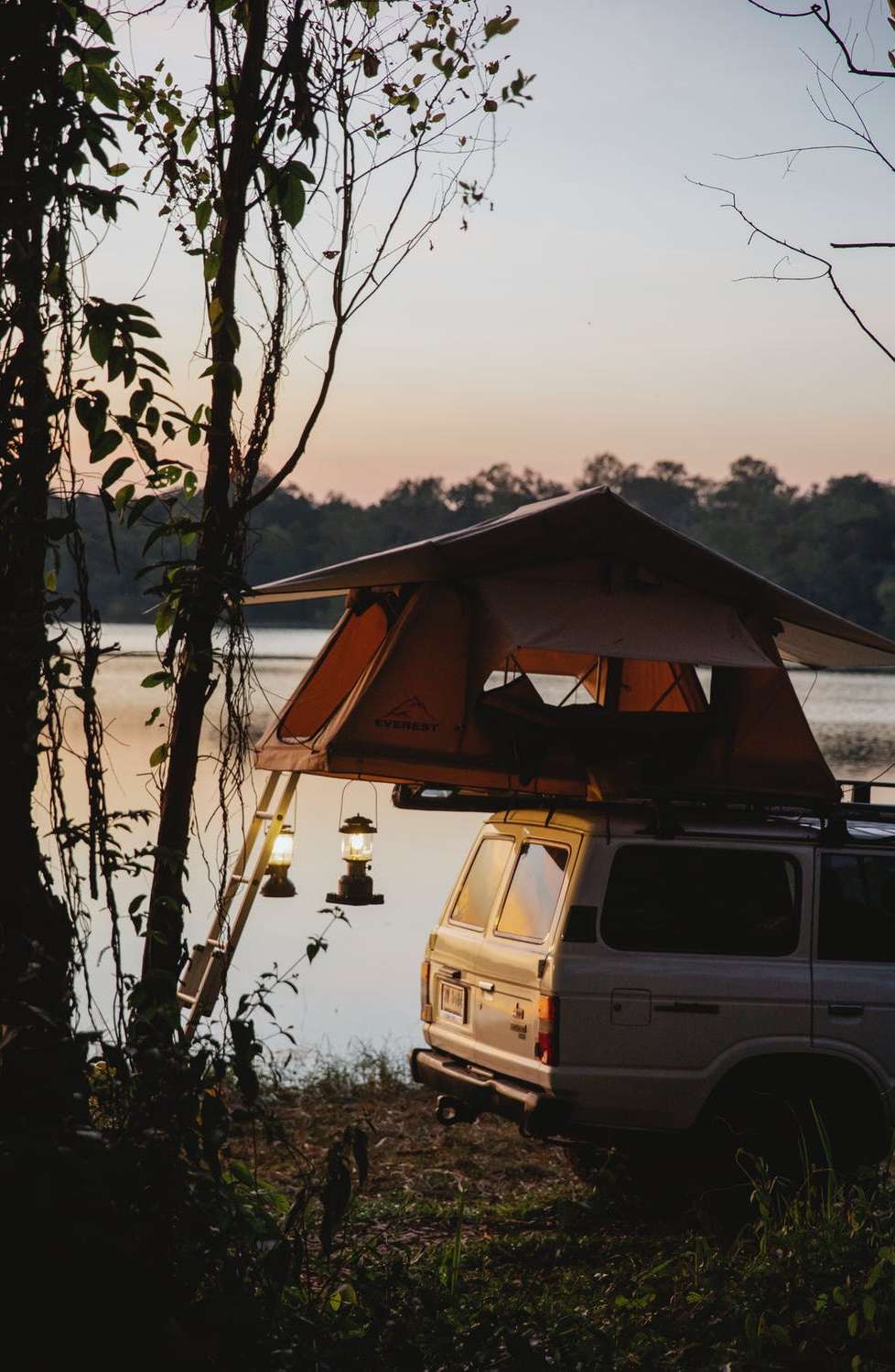
14. Mono Lake – the largest lake by volume in California
Mono Lake can be considered as the largest lake by volume in California.
In fact, this is due to the close proximity of the lake near the ocean. This lake is located in close proximity to Lee Vining.
The Mono Lake is a salt water lake. Among the most unique lakes that you can find in California, Mono Lake is holding a prominent place.
The eastern entrance of this lake is providing you with access to the Yosemite National Park.
You may also consider this as an ancient lake that you can find in the region. In fact, the lake has been formed millions of years ago.
The Mono Lake is quite popular for the Tufa formations. These are nothing but towers of calcium carbonate, which are standing on the shore.
They provide a unique view for the people who are exploring the lake. On the other hand, you may call Mono Lake as an excellent nesting habitat for birds as well.
it is usually possible to see millions of birds spending their time at Mono Lake.
During the time you spend at Mono Lake, you will eb able to go ahead with a bird walk or Tufa walk.
You can get a unique experience as you walk along with a naturalist. There are multiple hiking trails that you can find in close proximity to the shore.
This is one of the most popular lakes among photographers. That’s because you can capture some breathtaking photographs during the time that you spend in here.
15. Tenaya Lake – biggest freshwater lake in California
Among the biggest freshwater lakes that you can find in California, Tenaya Lake is holding a prominent place.
This lake is found within the Yosemite National Park. It is usually a less crowded tourist attraction that you can find in the park.
Hence, you can get near the Tenaya Lake and have a peaceful time. You can easily access Tenaya Lake via the Tioga Road as well.
The Tenaya Lake is offering a long and lovely shore to the guests. You will also be able to get a unique view of the granite cliffs during the time that you spend in here.
Crystal waters that you can see in Tenaya Lake is perfect. On the eastern side of Tenaya Lake, you can find a beach. This beach is designed specifically for lazing.
It is also possible for you to walk along the shore of the lake. However, swimming is not recommended as water can be cold. You can still think about boating or kayaking in the lake.
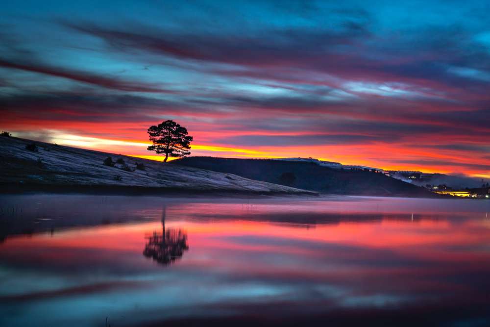
16. June Lake – abandoned Lake in California
Not all lakes in California are being used as of now.
As you go through the list of lakes, you will come across some abandoned lakes as well. June Lake is holding a prominent place among those abandoned lakes in the region.
This lake is providing fascinating views during the fall. However, you will be impressed with the views that the June Lake is offering during other seasons.
If you are exploring this area, you can think about going for a drive in the June Lake loop. You will not be able to find lots of people around the lake as it is abandoned.
This will provide you the opportunity to explore the beauty of the region. You will still be able to enjoy fishing near the June Lake as well.
There are some popular fishing spots near the lake. On one end of the lake, you can even go on swimming. You will even get a pleasant experience as you walk along the shore of this lake.
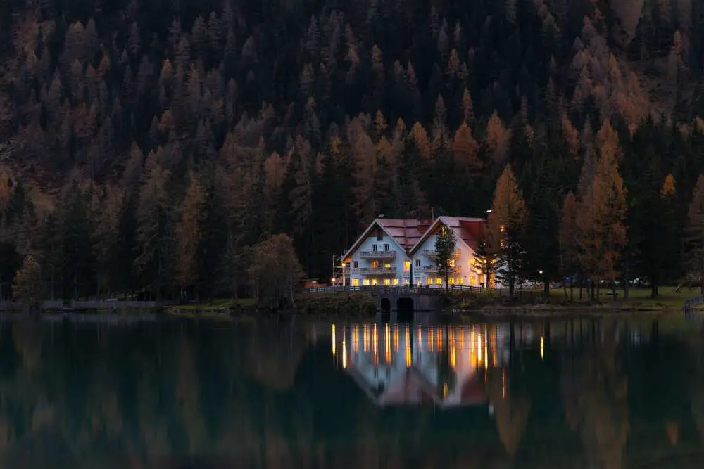
17. Gull Lake – the biggest northern lake in California
Gull Lake is a massive lake that you can find in Northern California. You will be amazed by the size of this lake. However, it is still in a position to deliver charming looks to the people.
If you want to get the best experience by visiting this lake, you should plan your visit during the fall. That’s because you can get a unique experience because of the trees that are fringing the lake.
You can use this as the backdrop to capture some breathtaking photos.
You can go for a walk around the Gull Lake and explore its natural beauty.
You can also rent a boat and get into the water as well. Then you can continue to explore natural beauty from a unique perspective.
Fishing is among the most popular activities that you can find in Gull Lake. You can fish crayfish and trout as you spend your time in here.
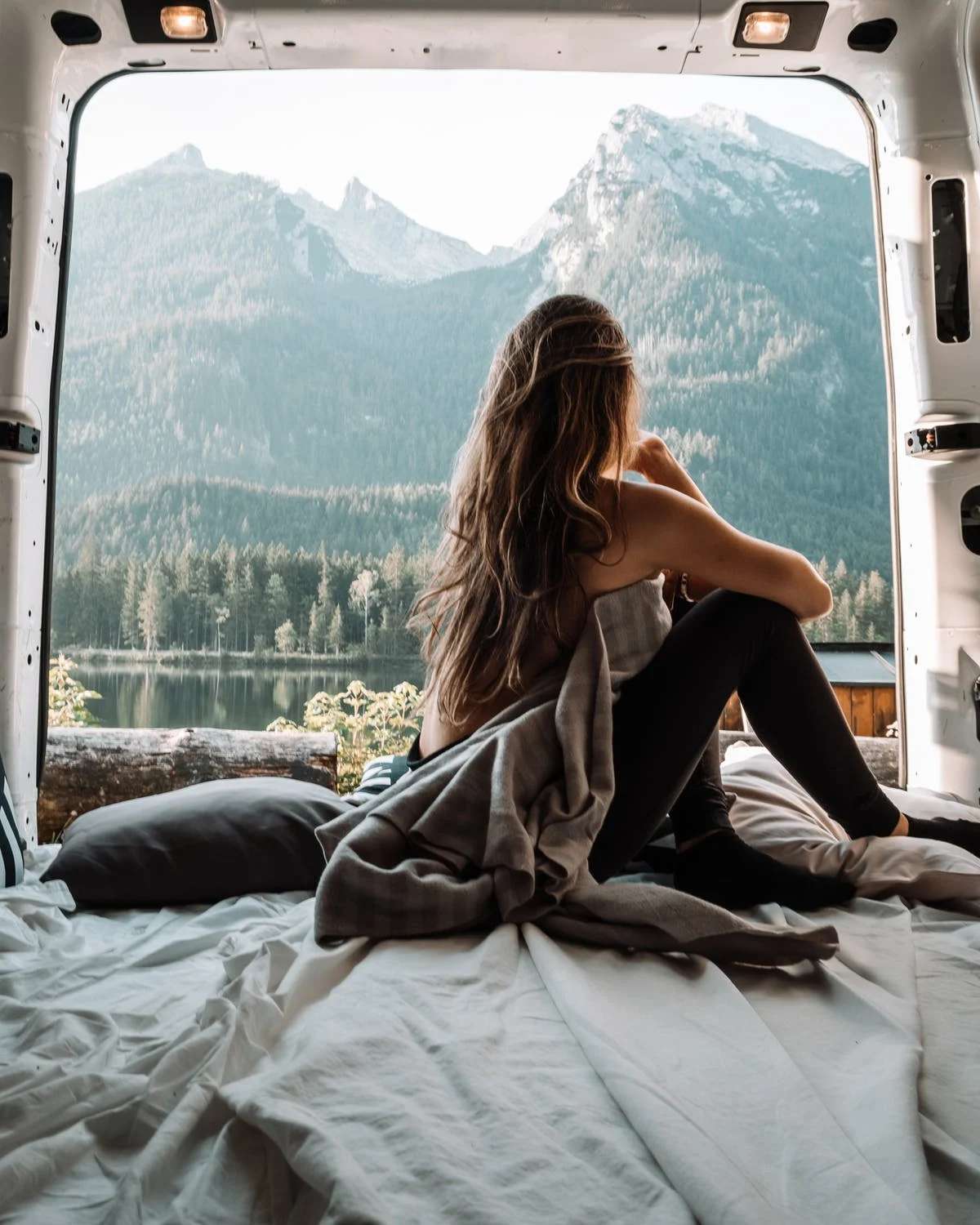
18. Silver Lake – the biggest southern lake in California
Silver Lake is the biggest southern lake that you can discover in California.
This is another beautiful and a stunning lake that you can find in the region.
You will be impressed by the stunning sceneries that the lake would offer.
If you are exploring Silver Lake, you shouldn’t forget to go for a swim. You can also use the experience to go on kayaking and boating as well. On the other hand, you may think about fishing in the Silver Lake as well.
While you are standing from the shore, you will be able to see anglers. If you are interested in going for a fishing experience deep in the lake, you can think about renting out a boat.
There are numerous hiking trails that you can find in the region as well. You will be able to camp in them and experience the wilderness offered.
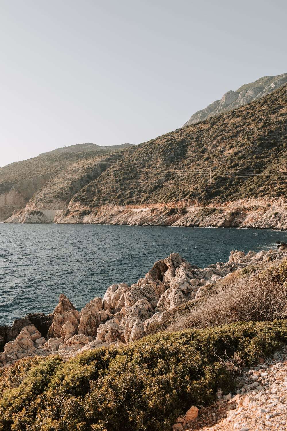
19. Convict Lake – the clearest lake in California
Convict Lake is well-known for clean and clear water. That’s because this lake is associated with the clearest lake that you can find in California as of now.
The lake is located few miles south of the popular resort town named Eastern Sierra. You will be able to get a great experience as you explore the lake on your own as well.
Due to the presence of clean and clear water, you may think about calling the Convict Lake as a picture postcard location.
Beauty of the lake is further enhanced by the tall peaks that you can find in the surroundings.
If you are a photographer, you should come to explore the beauty of Convict Lake early in the morning.
That’s because you can get yourself exposed to a dramatic scene as the sun is rising in the morning.
If you want to go for a swim, freedom is offered in the Convict Lake. On the other hand, you may think about going on fishing or boating as well.
Likewise, it is also possible for you to walk the trail around this lake, so that you can get a fascinating experience.
You can get an amazing experience as you explore this lake during the fall.
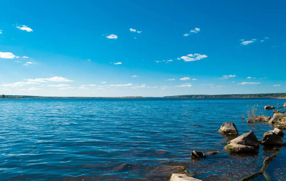
20. Manzanita Lake – largest reservoir in California
Manzanita Lake is another beautiful lake, which you can find within the Volcanic National Park.
Since this lake is located within a national park, you can think about coming all the way to here to experience a camping adventure.
Among the picture postcard lakes that you can find in California, Manzanita Lake is holding a prominent place as well.
You will be able to get the best views of the mountain as you continue to spend your time in here.
The Lassen Volcanic National Park is not the most popular national park among people who are living in California.
Due to the same reason, you will get the unique opportunity to spend your time without crowds. In other words, you can experience the fascinating sceneries on your own. In case if you are a photographer, Manzanita Lake will be providing some great opportunities.
For example, you can capture breathtaking photos of how the reflection of Lassen Park is falling on to the Manzanita Lake.
All you have to do is to go out along with your camera in the morning to get this experience.
Scenic hikes are present around Manzanita Lake, and you will be able to experience them as you spend your time in here.
The hiking opportunities you can find around here are not challenging. In fact, any person will be able to go ahead with the flat walks.
You may also think about taking a kayak and exploring the water.
Or else, you may also engage with stand up paddle boarding. People who are interested in fishing can find some great opportunities here in Manzanita Lake as well.
Final words
Now you are aware about the biggest and the best lakes that you can find within the state of California as of now. We can highly recommend anyone to come and grab these experiences while exploring California. You will be able to explore how diverse the state is, along with the unique experiences offered with all these lakes.

Proud owner of https://travelyouman.com/
