
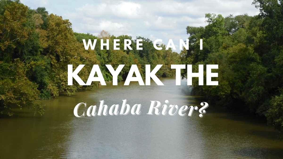
Paddle along one of Alabama’s most beautiful rivers in a kayak. There’s lots to see and do along the river’s 194 kilometers. You may park your kayak in a variety of locations. This is one of the easier sites to get to. Grants Mill Road is another popular location for launching your kayak. If you’re coming from I459, it’ll be on the left after you pass the Church of the Highlands. Because of the tranquility of the sea, we decided to leave our kayaks here. The river is fairly calm, allowing you to kayak both directions without having to drop a vehicle. Small rapids may be found if you go far enough. Continue to read this guide on Cahaba River kayaking and we will share all the great experiences that you can collect down the line.
Is it possible to go kayaking in the Cahaba River?
You’ll turn left as soon as you start kayaking and continue straight down the straightaway. On your right, just before you travel around the curve, there is a rope swing. You may go around to the base of the rope swing via a tiny path. The swing is rather well-built but use it at your own risk. There is a big tree that hangs over the river if you proceed around the curve a bit farther. The tree has wooden pegs that you may use to climb out over the lake and leap. After the turn, look to your right for the tree.
The northernmost paddling portion of the Cahaba starts at Civitan Park in Trussville. From the parking lot, go underneath the pedestrian bridge. The river is as straight as a ditch, and the water is motionless. But don’t be fooled by this; there’s class three whitewater only minutes away from your launch. For this stretch, you’ll need to reference the gauge at this link, which will lead you to the Moon River Canoe Launch. For this length, you’ll need a flow of at least 300 cubic feet per second. Some of it is in the suburbs, and some of it is in the woods.
Read: Is Traveling A Hobby? The Ultimate Guide To An Exciting Way Of Life
Learn about the Downsides Of Traveling As A Hobby
What are the best places for Cahaba River kayaking?
1. Launch of the Moon River Canoe
Moon River Canoe Launch is the result of a collaboration between Alabama Power Company, Freshwater Land Trust, and the Cahaba Blueway Steering Committee to resurrect an ancient night site with the same name as an access point. Civitan Park is roughly thirteen miles below the Trussville entrance. Turn left off Rex Lake Road onto U.S. 78/Parkway Drive Southwest to get there. It’s on the left side of the road, across from River View Baptist Church, after approximately two miles on US 78.
Read: Paddleboards VS Kayaks – What Is The Best Choice For Your Next Vacation?
Learn about the level of control
2. Grants Mill Road is a road in the town of Grants Mill
Grants Mill is located in a lovely location next to a popular paved walking track. The most utilized section of the upper Cahaba is accessible from the Cahaba Landing and Riverwalk Park to the Old Overton Road. Old Overton is 7.5 miles away and is a beautiful, easy hike. Take I-459N to exit 27, then I-459N to exit 27. Turn right onto Grants Mill Road and continue until you come to a dirt pull off on the left with a round stone entryway.
Learn about Tips for kayaking at the Horseshoe Bend
3. Overton Road (Old)
As the name says, it’s close to but not on new Overton Road, so be careful to tell your GPS. The stonework at the adjoining mini-park overlooking the river will help you find it. For river access, there is a parking lot. In the center of a community. Exit Interstate 459 at the Liberty Park exit and go toward Liberty Park. At the stop sign on Liberty Park Drive, turn right. Turn right at the next stop sign onto Overton Road. Then, just before the bridge, take the next left. About a quarter mile on the right, you’ll find the put-in.
4. Bridge over the old Highway 280.
Access to Old Overton Road is seven or eight miles below. The ancient and new bridges are next to each other. A road that runs under the old bridge also runs beneath the new one. Egress and ingress are both hard and may be muddy after a storm, thus trucks with 4-wheel drive are recommended. When dry, the surface is heavily rutted, leaving little space for maneuvering. Launching is simple. RISK: A chain of four dams are located just downstream of Highway 280, with a fifth dam roughly 5 miles downstream. These are very hazardous and must be transported.
Upstream, the water is normally like a millpond, so there’s no need for a shuttle for a lovely out-and-back. Paddle the scenic three miles to a municipal pumping station and back, passing through rolling hills and bluffs that belie the reality that you’re outpacing the traffic on 280. Paddle to Lake Purdy along the Little Cahaba (not to be confused with the Bibb County stream of the same name), a picturesque paddle that may be interrupted at any moment by unscheduled releases from an upstream dam.
5. Bains Bridge
The Cahaba-Riverchase Grandview Greenway Trailhead project includes access to the Cahaba River at Old Montgomery Highway, commonly known as the Lorna Road entrance. An off-road route for walkers, bicycles, and other non-motorized modes of transportation, as well as an official Cahaba Blueway canoe launch location, are being developed as part of the initiative. The Cahaba River Corridor of the Red Rock Ridge and Valley Trail System is part of a much broader trail system. Within the Hoover municipal boundaries, the route is surrounded by Riverchase Elementary School, Arbor Hills neighborhood, and the Riverchase Planned Community.
6. Cahaba River Canoe
This is the only outfitter on the river that really operates. Another option is The University of Alabama Birmingham’s Outdoor Pursuits (205-996-4913), which hires boats and offers shuttles to and from several Cahaba access spots. Canoe The Cahaba hires kayaks and canoes, as well as providing shuttle service for those who bring their own. 2370 Highway 52 Helena, AL 35080 is the location of Canoe the Cahaba. Call (208) 574-5623 for more information. www.facebook.com/CanoeTheCahaba. There is no other public access to this section of the river, thus this outfitter only services by appointment. To utilize this access, you must phone ahead and make arrangements. Below Canoe the Cahaba, the next viable takeout is Living River, 22 miles distant, where basic camping and decent amenities are available.
7. A Retreat on the Cahaba
Living River is located around the halfway point of the Cahaba River’s length, as well as the highest point of access and services along the river. The Presbytery of Sheppards and Lapsley, part of the Presbyterian Church, owns and operates Living River as a 501(c)(3) non-profit corporation (USA). At a deep bend in the Cahaba River, Living River is situated on 440 acres. The Cahaba Environmental Center (CEC) is located in Living River and provides an excellent education program that emphasizes active, immersive, place-based learning. The CEC curriculum enables pupils to comprehend the natural world and its intricate interconnections. Please contact the camp at info@livingriver.org if you are interested in utilizing any of the Living River facilities. Step off your boat at any of the designated landings, which include some that are just a short walk away from a relaxing campground. A stay in a Living River cabin, a hot shower, and even hot meals in the dining hall are available by previous appointment, making Living River a great destination on one of the state’s top rivers.
The river flows rapid from here to Centreville, and if the water level is high enough, paddlers will find themselves lined up for one exhilarating drop after another. Years ago, local paddlers coined the phrase “if it’s brown, turn back” to indicate the Cahaba’s hazard after a rainstorm. In high water, the Cahaba is a wild and natural river with little possibility of finding or even reaching a paddler in perilous sections.
8. Pratts Ferry Preserve
The Nature Conservancy’s Pratts Ferry Preserve is a 12-acre Nature Conservancy property on the south bank of the Cahaba River, approximately five miles below the Caffee Creek access in the Cahaba River National Wildlife Refuge. In the spring and summer, the landscape is ablaze with a variety of wildflowers.
Read: Where To Kayak In Florida Without Alligators
9. Centreville
The community of Centreville is about six miles below Pratts Ferry Preserve, and its Walnut Street (Highway 25) Bridge crossing is a Cahaba River Landmark. The rocky substrata of the Alabama uplands gives way to the coastal plain, and the rock garden scattered along the bottom of the Cahaba reflects the remaining fragments of the fall line. Sandbars abound from here on out, so camping is usually not an issue.
Centreville contains everything a paddler needs, including food and housing, but it is difficult to get. A minor ramp located one mile north of the Walnut Street Bridge is one alternative. The ramp is privately owned and only available to Alabama Scenic River Trail passengers who make reservations at least two weeks in advance.
Final words
These are the places we highly recommend for Cahaba River kayaking. Pick the best location out of these and you will get an enjoyable experience at the end of the day.
Proud owner of https://travelyouman.com/
