
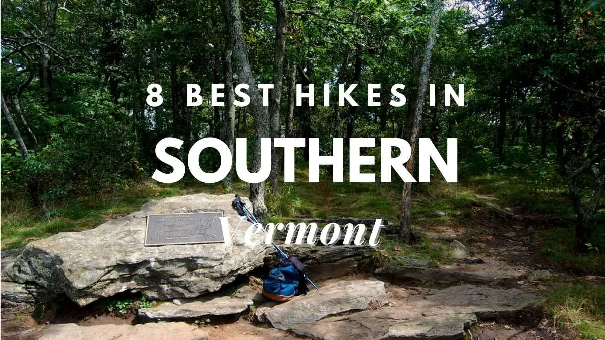
Vermont’s Long Path, which runs from the state’s northern border with Canada to the Massachusetts state boundary in the south, is America’s oldest long-distance hiking trail. Day hikers, on the other hand, may enjoy sections of the path and access the more than 40 peaks connected by the Long Trail through miles of well-maintained side trails. While keeping all these facts in mind, let’s take a look at the best hikes in Southern Vermont.
Because the Long Trail—and the Green Mountains themselves—run north-to-south through the heart of the state, they are never far from the state’s numerous tourist attractions, making Vermont an excellent vacation destination for hikers and non-hikers alike. Not all hiking paths go to the top of a mountain. Gentle walking routes abound in Vermont’s state and municipal parks, exploring the state’s natural attractions – waterfalls, bogs, and glacial geological formations – or just providing an opportunity to appreciate the state’s lovely meadows and forests.
1. Mt. Mansfield Ridgeline Trail
Not just for the magnificent vistas, but also for the more than two miles of ridge-top trekking above tree line, Vermont’s tallest peak is one of the most exciting and rewarding in the state. Rare arctic-alpine tundra can be found only in two spots in Vermont. Camel’s Hump has a slightly smaller size, but Mt. Mansfield has 200 acres of uncommon tundra flora. Locations along Mt. Mansfield’s lengthy ridgeline are known as the Adam’s Apple, Chin—the highest point at 4,393 feet—Nose, and Forehead because of their profile when seen from the east.
It may be reached by a variety of ways. At the foot of Smugglers’ Notch, the Long Trail crosses Route 108 and begins a steady 2.3-mile ascent to the Chin. The far more challenging Hell Brook Trail, located further up Smugglers’ Notch, covers roughly the same height increase in just 1.8 miles.
You may drive the Toll Road to the Nose or take the gondola to just below the Long Trail and walk only the summit part for a spectacular four-mile trek without the arduous ascent. Stay on the path, no matter which route you choose, to prevent hurting the ecosystem’s sensitive flora. Tundra previously spanned a much larger region, but when the glaciers retreated, the environment became too warm for these cold-loving plants to survive.
Only on the exposed peaks did the weather stay pleasant. The tundra resembles a grassy meadow, with little peat bogs forming in the lower parts where precipitation collects. While it may be tempting to go as near to these uncommon plants as possible, keep in mind that, while they are resistant to harsh weather, they are quite sensitive to foot movement.
Topnotch Resort offers accommodations with mountain views, three pools, a full-service spa, and a fine-dining restaurant between the Long Trail and Route 108 intersection at the foot of Smugglers’ Notch.
Read: Is Traveling A Hobby? The Ultimate Guide To An Exciting Way Of Life
Learn about the Downsides Of Traveling As A Hobby
2. Mt. Pisgah
The reward for this somewhat strenuous ascent with a vertical increase of around 1,500 feet is one of Vermont’s most unforgettable panoramas. One route lead from the north end of long Lake Willoughby, while the other leads from the lake’s southern end.
You may also create a seven-mile circle if you don’t mind walking roughly three miles back along the road. The stroll along Route 5A, which runs around Lake Willoughby, is seldom congested. From either way, the path to the top of the cliffs is a combination of woods and rocky terrain, with occasional creek crossings on the North Trail. In either direction, there are some steep portions.
The North Trail is roughly a half-mile longer, but the South Trail includes the view from Pulpit Rock, which is 550 feet above Lake Willoughby and one of the state’s most stunning. Long-distance views from North Lookout and West Lookout, just north of the top, are very remarkable (which is wooded and offers no view at all). These extend to Lake Memphremagog, the Eastern Townships of Quebec, Camel’s Hump, and the White Mountains of New Hampshire.
3. The Falls of Hamilton
Follow the West River Trail from the Jamaica State Park campsite to one of Vermont’s tallest waterfalls, a particularly lovely one in an untouched natural environment. The Dumplings are a series of stones along the West River that have been turned into a railroad bed.
A route to the right leads to Hamilton Falls about 1.5 miles beyond The Dumplings, where the West River Trail crosses Cobb Brook. After approximately a mile, you’ll discover a steep trail descending on your left, which was formerly an ancient wagon route. This path leads to the finest views of the 125-foot waterfall.
The ancient wagon route continues until it comes to a T, where you may turn left to reach the top of the falls. Under no circumstances should you try to swim to the top of the falls or climb along the brink. This is not just a sensitive and protected habitat, but it is also very hazardous. To protect yourself and the environment, stay on the designated routes and preserve swimming for the pool at the foot of the falls.
4. The Long Path
The Long Path is the United States’ oldest long-distance hiking trail, having been completed in 1930. It runs 265 miles from the Canadian border to the Massachusetts state boundary, linking over 40 of the state’s highest peaks. The trail traverses the ridgelines, dipping into valleys between peaks and sometimes crosses motorways.
The majority of these crossings have parking places, but there is no official hiker shuttle, therefore hikers must rely on friends, local taxi companies, or private shuttles. Along the journey, there are trailside shelters and huts for camping, but long-distance hikers must be prepared to take everything with them. Before embarking on the Long Trail, make sure you are adequately equipped and have a copy of the most current Long Trail Guidebook.
Several portions of the trail are ideal for overnight walks. The part between Brandon and Middlebury Gaps is a popular two-day trek, whereas the section between Lincoln and Middlebury Gap takes three days. A popular day trek from the top of Lincoln Gap, where the Long Trail crosses a road, to the summit of Mt. Abraham is one of the most spectacular portions of the trail (see #7 below). The view from the top of Mt. Abraham includes Mt. Washington in New Hampshire and the Adirondack Mountains in New York.
5. Camel’s Hump
Camel’s Hump, at slightly over 4,000 feet, is Vermont’s third highest mountain, with multiple paths leading to its bald, rocky top. Two of the greatest start in Camel’s Hump State Park’s Monroe region, south of Route 2 in North Duxbury, west of Waterbury.
You may climb the Monroe Trail to the peak and back, or create a longer circle by taking the Long Trail as it descends sharply south from the summit to a junction at Wind Gap, and then returning to the Monroe Trail by the Dean Trail. It’s a difficult climb, frequently steep, but on well-maintained paths, regardless of which way you choose.
On a clear day, you can look west to the Adirondacks, east to New Hampshire’s White Mountains, and north-south along the spine of the Green Mountains from the top. Because the vegetation around the top is a unique stretch of arctic-alpine tundra and is very vulnerable, stay on the route.
6. The Sunset Ridge Trail
A sword-shaped piece of granite approximately 40 feet long juts about halfway up a cliff face on the western slopes of Mt. Mansfield. It’s accessible from Underhill State Park, west of Burlington, via the Sunset Ridge Trail. Trail maps are available at the park entry ranger station, although the path is clearly signposted.
The Sunset Ridge Trail climbs slowly through the woods, with just two tough areas when the rocks are wet and slick. Trailside seats are positioned in front of picturesque vistas. At 0.7 mile, you’ll come to a fork in the route; take the left fork to Cantilever Rock. After going through a narrow, rocky region, you’ll arrive at the base of a 100-foot cliff at around 0.1 mile. Cantilever Rock is located approximately halfway up the cliff and protrudes at a right angle from the rock face.
The region below and beyond, a tangled slope of large rocks that have fallen from the cliffs above, is nearly as intriguing. As though working on a big three-dimensional jigsaw puzzle, you may glance up and connect the bits of talus surrounding you to the clefts and faces of the cliff above.
7. Mt. Abraham
From Lincoln Gap, where the Long Trail crosses an unnumbered road between Lincoln and Warren, just off Route 100, one of the most magnificent parts of the trail runs. The peak of Mt. Abraham is roughly 2.5 miles from here.
The Long Trail crosses at a high point, giving you a head start on the 4,052-foot summit of Mt. Abraham. Although the path only has a 1,600-foot elevation increase, be prepared to climb more than that—the trail descends sharply numerous times before ascending again.
The trailhead is simple to locate since the crossing is well marked. Stay to the left at the crest of the embankment as you go north on the Long Trail. The route travels along a ridge with stunted fir and spruce trees, along moss-covered ledges, and between massive glacial stones in one spot.
The unrestricted view from Mt. Abraham’s craggy peak includes Camel’s Hump’s unique profile, as well as Mt. Washington in New Hampshire, Lake Champlain, and the Adirondack Mountains in New York.
8. Peacham Bog and Owl’s Head
Groton State Forest has more than a dozen hiking routes and spans a huge area of territory in Vermont’s Northeast Kingdom region. The 10-minute hike up the CCC-built stairs from the parking lot to the summit of Owl’s Head is mostly for geology and a beautiful view of the mountains and ponds.
Climbers may also access the base via a path that connects New Discovery Campground and Osmore Pond. More than 300 million years ago, the granite ledges at the summit were created. After the granite hardened from its molten condition, fissures emerged, which were filled with molten rock shoved into the gap and cooled there, resulting in the dramatic stripes that crisscross the bald dome.
Final words
These are the best hikes in Southern Vermont. Vermont’s abundance of natural space and wildness make it an ideal location for animal and plant observation. Hawks circle the mountain tops, and uncommon boreal birds may be seen in the woodlands. Trails may be lined with forest flowers in the spring, and when the foliage changes color in the autumn, the whole state becomes a riot of reds, oranges, and yellows. Keep these in mind and go ahead with getting the most out of time you spend in Southern Vermont.
Proud owner of https://travelyouman.com/