
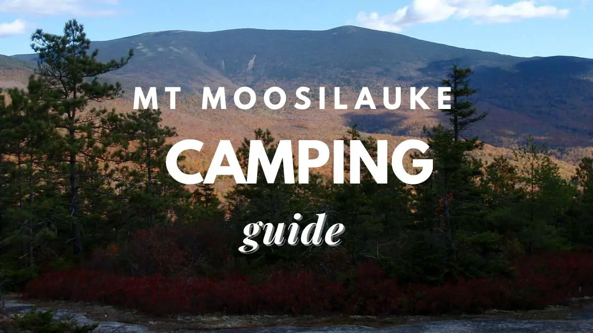
Mount Moosilauke derives its name from the Abenaki language, which means “bald place.” Moosilauke is a day hiker’s paradise, with a broad range of paths that will challenge all sorts of hikers. It is called for its beautiful, treeless, wind-swept summit cone. The reward, regardless of whatever direction you ascend from, is a breathtaking 360-degree view—as long as the weather cooperates.
Best hiking trails in Mt Moosilauke
The Carriage Road Trailhead, Ravine Lodge Trailhead, Glencliff Trailhead, and Beaver Brook Trailhead are the four trailheads that most day hikes on Mount Moosilauke depart from.
The trailheads for Carriage Road and Ravine Lodge are both along NH Route 118, while the Beaver Brook Trailhead is on NH Route 112.
Both Lincoln and Woodstock, New Hampshire, are within 15-20 minutes of all three.
It’s a little more difficult to get to the Glencliff Trailhead.
To get to Sanatorium Road, first travel to NH Route 25 (which runs north-south west of Moosilauke).
The trailhead is on the right about a mile up the road.
You’ve reached the appropriate parking lot if you see a field and a White Mountain National Forest sign.
Read: Is Traveling A Hobby? The Ultimate Guide To An Exciting Way Of Life
Learn about the Downsides Of Traveling As A Hobby
Gorge Brook Trail
The Gorge Brook Trail, the quickest and most popular route to Moosilauke’s peak, starts on Ravine Lodge Road near Dartmouth College’s Ravine Lodge.
The route turns left after crossing a creek on a hikers’ bridge, then begins rising besides Gorge Brook at a well-marked junction, crisscrossing the brook on a few times.
The route splits from the creek after 1.5 miles, near a monument for Ross McKenny, the Dartmouth Outing Club’s Woodcraft Advisor and creator of the Ravine Lodge.
From here, the route gradually ascends Moosilauke’s side through lovely woodland, finally crossing a succession of overlooks, one towards the Sandwich Range and others with spectacular views of Lincoln, Franconia Ridge, and the Kancamagus Highway.
The route quickly ascends a series of switchbacks as it approaches the peak, ultimately reaching an open area with spectacular views.
The route then briefly goes below tree line before heading straight towards the summit cone.
The 360-degree vistas on Moosilauke’s rocky top are reached after a short but steep, open, and frequently windy climb over the alpine zone.
Once you’ve arrived, take a stop under one of the numerous windbreaks, get a food, take in the scenery, and take in the 3.7 miles and 2,400 feet of elevation gain.
Retrace your steps or, on brighter days, build a magnificent circle by descending through the Carriage Road to the Snapper Trail and returning to Ravine Lodge Road.
If you make the loop, don’t forget to stop at Moosilauke’s South Peak.
It’s one of the Whites’ greatest sub-peaks!
Learn about the Mount Jim Ridge trail
Beaver Brook Trail
The Beaver Brook Path, which is also part of the Appalachian Trail, is the steepest and most difficult trail to Moosilauke’s peak.
The path rises 3,100 total feet in elevation—accounting for the trail’s multiple ups and downs—over roughly 3.8 miles, climbing 2,700 feet from Beaver Brook Trailhead to Moosilauke’s peak.
The route begins slowly as it leaves the Beaver Brook Trailhead, snaking between roots and stones and across a few bridges before reaching the Beaver Brook Cascades.
The track then follows the Beaver Brook Cascades for the next mile, providing some of the steepest terrain in the Whites—hike that is made much more difficult by the mist from the adjacent falls, which makes it wet and slippery.
To help in the climb, several of the toughest areas include wooden stairs and iron rungs.
The Beaver Brook Path crosses with a small side trail leading to the Beaver Brook Shelter after approximately 1.5 miles, marking the conclusion of the sharpest ascent.
After another half-mile of trekking, the route intersects with the Asquam Ridge Trail; turn right and continue 1.5 miles on the Beaver Brook Trail, passing under Mount Blue’s 4,529-foot peak (a non-counting New Hampshire 4,000-footer).
From here, the route joins the Benton Trail for the last half-mile push to the summit through the alpine zone and through big cairns.
The Beaver Brook Trail is most typically used for an out-and-back climb of Mount Moosilauke.
However, be cautious on the way back—descending steep terrain on fatigued legs is a recipe for catastrophe.
The Carriage Road
The Carriage Road was created in the 1800s to transport tourists to a hotel (the Prospect House, afterwards known as the Tip Top House) that formerly existed atop Mount Moosilauke’s summit.
The Carriage Road, which is about 5 miles long and rises 3,000 feet, is the longest and gentlest of the popular hiking paths to the mountain’s peak.
Hikers begin their adventure on the Carriage Road at a tiny gravel lot on Breezy Point Road known for the Merrill Mountain Home, the Breezy Point House, and the Moosilauke Inn, among others.
Despite the fact that none of the buildings are still standing today, interested hikers may still locate relics of these historic structures if they look hard enough.
The Carriage Road’s rise starts in a pleasant manner.
The route gently twists through a low-height forest for the first 1.25 miles, past pines and birches and gradually climbing in elevation until crossing the Baker River and meeting with the Snapper Trail.
Hikers will observe that the birches give way to smaller pines as they continue down the Carriage Road, with occasional vistas to their right and rear.
The path begins to steepen shortly after meeting the Snapper Trail, climbing 1.25 miles to its confluence with the Glencliff Trail and a short (0.1 mile) offshoot trail going to the 4,523-foot South Peak.
It’s just under a mile to the summit from here, with each step taking you more into the alpine zone and more exposed to the weather as the krumholz gives way to bare rock until terminating at Moosilauke’s brilliant orange summit marker.
There are lots of vistas along the road, particularly west into Vermont’s Green Mountains—try to see Camel’s Hump and Mount Mansfield on the horizon.
Carriage Road hikers often return the same way they came, taking advantage of the trail’s breadth and mild incline on the way down.
The Glencliff Trail
The Glencliff Trail, which is just 4 miles long and gains around 3,300 feet in elevation to Moosilauke’s peak, is an excellent route to explore the south-west side of Moosilauke.
The track begins on Sanatorium Road and is very easy for the first mile, passing through grassy fields before gradually climbing into wooded terrain with golden birches and hemlocks.
As the route reaches the crest right below Moosilauke’s South Peak, it starts to climb more steeply while also becoming stonier and more difficult.
Around the 3-mile point, the route crosses a small offshoot trail towards South Peak, which you should check out if you have time, and then nearly immediately rejoin the Carriage Road.
It’s another mile up to the peak from the Carriage Road intersection.
The Glencliff Trail is often used to ascend Moosilauke in an out-and-back fashion.
Hikers may see some thru hikers as they trek north towards Maine’s Mt. Katahdin or southward towards Georgia’s Springer Mountain since Glencliff is part of the Appalachian Trail.
Less-Traveled Paths
Consider one of these less-traveled paths if you want a little quieter on your climb to Moosilauke.
You will also be able to find numerous exciting opportunities offered by these trails.
The Asquam Ridge Trail
The Asquam Ridge Trail is a lengthier journey from the Ravine Lodge Trailhead for those seeking for a longer hike.
The path climbs steadily up the northeastern flank of the mountain for 5.8 miles to the top of Moosilauke.
One of the trail’s highlights is that it passes near the top of Mount Jim, one of numerous non-counting 4,000-footers that encircle Mount Moosilauke, shortly before it intersects with the Beaver Brook Trail (at mile 3.9). To visit Jim’s peak, look for a small offshoot route.
Benton Trail
Despite being one of the easiest ways to the mountain’s summit, the Benton Trail sees much less traffic than Moosilauke’s more popular routes due to its out-of-the-way location—and some rerouting in the aftermath of Hurricane Irene—the Benton Trail sees much less traffic than Moosilauke’s more popular routes.
The 3.6-mile track follows the line of a historic bridle path, which explains the trail’s gentle topography and even footing.
Before merging with the Beaver Brook Trail/Appalachian Trail, hikers on the Benton Trail are treated to spectacular vistas of the Kinsmans and Little Tunnel Brook Ravine.
The route continues for another half-mile into the alpine zone, led by spectacular cairns, to the rocky peak of Moosilauke.
Snapper Trail
Hikers wishing to create a loop trek out of the Gorge Brook Trail and the Carriage Road may enjoy the 1.1-mile Snapper Trail.
The Gorge Brook Trail ascends Moosilauke and descends through Carriage Road, branching out on the Snapper Trail and rejoining with the Gorge Brook Trail a little more than a half-mile before the Ravine Lodge.
Are you looking for a different approach to see Mount Moosilauke? A famous New Hampshire ski excursion involves skinning up the Carriage Road to Moosilauke’s top and down on skis.
After the next major winter storm, have a look at it.
What should you bring with you for camping?
Carry anything in comfort (and stylishly) with an Osprey Talon/Tempest daypack, whether it’s extra clothing or fuel for your Moosilauke expedition.
Mount Moosilauke’s top is famously windy, since it sits alone on the edge of the Whites, exposed to the full power of the elements.
The Alpine Start Hoody (men’s/ women’s) from Black Diamond is a lightweight and packable layer of protection.
Similarly, even in the dog days of July, a puffy coat is frequently appreciated on Moosilauke’s top.
The Outdoor Research Ascendant (men’s/ women’s) has permeable insulation that’s ideal for days when you’re scrambling back down below treelined and need to keep warm.
Here are ten compelling reasons to use trekking poles, with Black Diamond’s Trail Trekking Poles (men’s/ women’s) providing the ideal combination of performance and durability.
You can only get so far up the mountain on Stoke.
Refuel with a Honey Stinger Cracker N’ Nut Butter Snack Bar as it begins to fade (the peanut butter and milk chocolate ones are our favorite).
Important tips to keep in mind
- If you’ve been hiking the Glencliff Trail, Carriage Road, or Gorge Brook, The Last Chair in Plymouth is an excellent location to stop for a pizza and a pint. Hikers on the Beaver Brook Trail may stop at J.L. Sullivans in Thornton for a burger and a drink.
- You don’t have to be a Dartmouth student to visit the Ravine Lodge, which is accessible to the public and provides easy access to the Gorge Brook Trail.
- Spend the night in the Beaver Brook Shelter, which is situated just off the Beaver Brook Trail. The shelter can accommodate eight people and has one of the nicer privies in the Whites.
- With so many routes crisscrossing Moosilauke’s flanks, use a map like this waterproof map of the White Mountains to remain on track.
- Hike to the site of a 1942 aircraft crash below the Asquam Ridge Trail in search of history.
Final words
Mount Moosilauke is a picturesque mountain in the state of New Hampshire. Many people appreciate the wealth of natural places in this part of the state. During the summer, inhabitants of the state and visitors alike rush to Mount Moosilauke and the surrounding region, and some even come during the winter.
In the Mount Moosilauke region, there are various places to camp. There are also some primitive shelters where you may sleep overnight along some of the hiking paths. The Beaver Brook Shelter, as previously said, is an excellent area to camp. Not only will you be able to spend the night in a genuine log house, but there will also be enough space for numerous tents.
This is an excellent location for hikers in groups or families with children. If you don’t want to sleep in a tent, the Moosilauke Ravine Lodge is another excellent option. This lodge is equally rustic, yet it offers many of the same amenities as a house. Dinner is provided in a family-style setting.
Proud owner of https://travelyouman.com/